Remote Sensing
Welcome to MEC&S, your trusted partner for comprehensive Remote Sensing solutions. We specialize in harnessing the power of remote sensing technology to provide a wide range of services that enable data-driven decision-making and successful projects. Our team of experienced remote sensing professionals is dedicated to delivering innovative and customized solutions. Explore our services below:
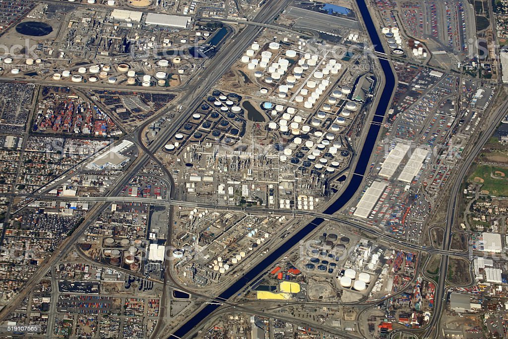
- Satellite Imagery Analysis:
At MEC&S, we specialize in extracting valuable information from satellite imagery:
- Image Acquisition: Collecting/Procurement of high-resolution imagery from various satellite sources.
- Data Processing: Analyzing and enhancing imagery to reveal insights.
- Environmental Monitoring: Tracking changes in land use, vegetation, and natural resources.
- Disaster Assessment: Rapid evaluation of natural disasters’ impact using satellite imagery.
- Drone-based Remote Sensing:
Our drone-based remote sensing services offer precise data collection and analysis:
- Aerial Surveys: Conducting surveys and inspections using unmanned aerial vehicles (UAVs).
- Infrastructure Assessment: Assessing the condition of infrastructure, buildings, and facilities.
- Precision Agriculture: Optimizing agricultural practices with detailed crop and soil data.
- Environmental Studies: Gathering data for environmental research and impact assessments.
- LiDAR Data Analysis:
We leverage LiDAR technology to capture and analyze detailed three-dimensional data:
- Point Cloud Processing: Transforming LiDAR point clouds into useful information.
- Digital Elevation Models (DEMs): Creating high-resolution terrain and elevation models.
- Flood Modeling: Assisting in flood risk analysis and mitigation efforts.
- Urban Planning: Supporting urban development and infrastructure projects.
- Geospatial Data Integration:
Our geospatial data integration services help you make sense of complex data:
- Data Collection: Gathering geospatial data from diverse sources.
- Data Integration: Combining and harmonizing data for analysis.
- Data Interpretation: Extracting meaningful insights from integrated data.
- Custom Reporting: Presenting data in clear and informative formats.
Why Choose Us:
- Expertise: Our team comprises seasoned remote sensing professionals with extensive experience.
- Customized Solutions: We tailor our services to match your specific project requirements.
- Cutting-Edge Technology: We stay updated with the latest remote sensing tools and methodologies.
- Precision and Accuracy: Our meticulous approach ensures accurate and reliable results.
- Client-Centric Approach: We prioritize open communication and collaboration with our clients.
At MEC&S, we understand the critical importance of remote sensing technology in today’s data-driven world. Our remote sensing services are designed to provide you with the insights and solutions you need to make informed decisions and enhance your projects. Partner with us to unlock the potential of remote sensing technology and embark on a journey of data-driven success. Contact us today to get started.
Get Started:
Ready to harness the power of remote sensing for your projects? Contact us today to discuss your specific requirements and receive a customized proposal.