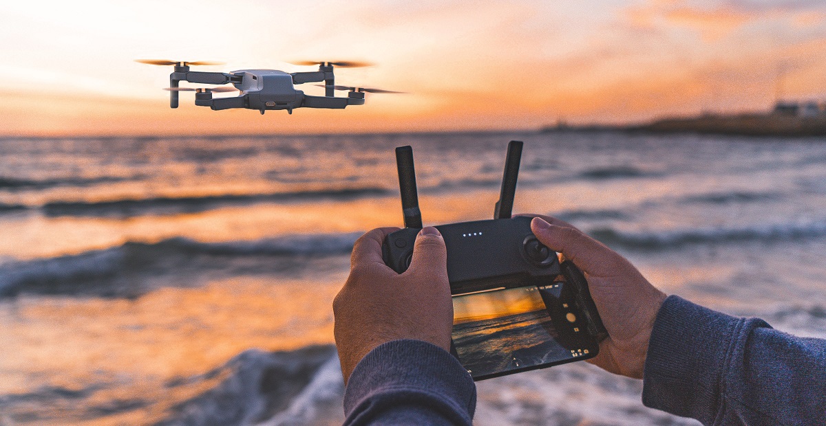
Unmanned Aerial Vehicle (UAV) / Drone Survey

At MEC&S, we harness the power of cutting-edge Unmanned Aerial Vehicles (UAVs)/ Drone to provide comprehensive survey solutions that are efficient, accurate, and cost-effective. Explore the limitless possibilities of UAV technology with us.
Our Commitment:
- Precision: We utilize state-of-the-art drones and sensors to deliver highly precise and detailed survey data.
- Efficiency: Say goodbye to time-consuming and costly traditional survey methods. Our UAV surveys are quick and efficient.
- Expertise: Our team of licensed and experienced UAV operators ensures the success of your projects.
- Customized Solutions: We tailor our services to meet the unique needs of your project.
At MEC&S, we are leading innovators in UAV survey technology, serving a diverse range of industries, including construction, agriculture, environmental monitoring, and more. Our mission is to provide our clients with the highest-quality survey data to support their decision-making processes.
Our Services:
- Aerial Mapping and Photogrammetry: We capture high-resolution imagery and 3D models for accurate mapping and surveying.
- Agricultural Surveys: Enhance crop management and yield predictions with our precision agriculture services.
- Environmental Monitoring: Monitor and assess environmental changes, from vegetation health to coastline erosion.
- Construction Site Surveys: Streamline your construction projects with real-time progress monitoring and volume calculations.
- Infrastructure Inspection: Safely inspect infrastructure, such as bridges and pipelines, using drones to identify issues and plan maintenance.
Drone Surveying Solutions
- LiDAR Digital Elevation Models (DEMs)
- Ortho-imagery (RGB Imagery)
- Topographic Surveys
- Power Line Measurement
- Volume Measurements
- Digital Terrain / Surface Models
- Contours
- Colorized Point Clouds
- Normalized Difference Vegetation Index (NDVI)
- Asset Inspection
- Thermal Imaging and Inspection (FLIR)
- High-Definition Photos / Video for Inspection
- Multi Spectral Imaging
- Magnetometer Surveys
- Gas Leak Detection
- Transmission Line Inspection and LiDAR Mapping
- Asset Inspection
Deliverables
- Imagery
- Video
- Digital Ortho-imagery & Mosaics
- Planimetric Mapping / Feature Extraction
- Point Clouds (.las)
- Digital Surface Models (DSM)
- Volumetric Calculations & Reporting
- Infrared (IR) and Near-Infrared (NIR) for vegetation index and heat sensing
- Bare-earth Digital Elevation Models (DEM)
- Asset high definition images, videos, grading, & reporting.
- Gas leak detection reporting.
- Building deformation and roof inspection reporting.
- Microstation & AutoCAD
Explore our services and discover how UAV technology can benefit your specific industry.
Why Choose Us:
- Expert UAV Operators: Our licensed and experienced UAV operators are skilled in safely and effectively piloting drones for surveying purposes.
- Cutting-Edge Technology: We employ the latest UAVs and sensors, ensuring the highest quality data for your projects.
- Customization: We understand that every project is unique, and we tailor our services to meet your specific requirements and goals.
- Cost-Efficiency: By streamlining survey processes, we help you save both time and money, making UAV surveys a cost-effective choice.
- Reliability: We pride ourselves on our commitment to quality, accuracy, and client satisfaction.
Contact Us:
Let’s Transform Your Surveys
Ready to revolutionize your surveying methods with UAV technology? Contact us today to discuss your specific needs, request a quote, or learn more about how our services can benefit your projects.